
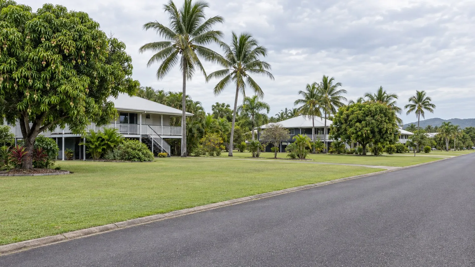
A block in a northern suburbs street catches your eye. It is huge by southern standards, it is a short drive from the shops, and you have heard that the Northern Territory is about to cut the minimum lot size so big low-density blocks can be split. The vendor's agent mentions the same thing.
This is the most dangerous kind of opportunity to buy on: a real proposal, a real possibility, and no rule change yet. A proposal is not a development right.
The deal question: does the uplift exist today, or might it exist later?
The Northern Territory Government prepared a planning scheme amendment to change the rules applying to land in low density areas, following the Northern Territory Planning Commission's consultation in November and December 2025. The department's Infill Development and Subdivision across the Territory page records that the proposed amendment was to be on exhibition from Friday 24 July 2026 to 11.59 pm Friday 21 August 2026, that the Commission's report to the Minister and a consultation summary report have been published, and that the amendment stage was showing as current when the page was last updated on 12 August 2026. Development assessment in the Territory operates under the Planning Act 1999, which is the legislation your planner will work from until any amendment commences.
The deal question is therefore not whether the block would be worth more if the rules changed. It is whether you can pay a price based on today's controls and hold the site while the proposal runs its course, without your funding, your contract or your settlement date depending on an outcome you do not control.
What the published proposal actually says
The published FAQs state that the Minister asked the Commission to examine options including changes to what you can build on a block, such as more than one house per block, and removing barriers to subdivision by reducing the minimum lot size. They also state that infill development in Zone LR could occur across the urban centres in Darwin, Palmerston, Katherine, Tennant Creek and Alice Springs, with smaller fragmented pockets of Zone LR in rural areas around Howard Springs, Coolalinga and Batchelor. The project FAQs carry the current wording.
Note what that is and is not. It describes intent and geography. It does not give you a settled number, and the published material is clear that the Commission's role is not to introduce new planning controls but to report to the Minister on what the community said, and that any changes to the NT Planning Scheme will be communicated to the public as part of future stages. A figure you have read about the proposal is proposed content that can still change before anything commences.
The scale of the opportunity, with its own caveat
The consultation material gives a useful order of magnitude and an equally useful warning. It states that there are about 8,000 lots in Zone LR across the Territory that are larger than 900 square metres and not affected by flooding or storm surge, with most in Darwin, Palmerston and Alice Springs and fewer than 1,000 spread across Katherine, Tennant Creek, Batchelor and Litchfield. It then states plainly that not all of those lots would be suitable for infill development.
That second sentence is the one to remember. A policy change can expand what is permitted in principle across a zone while leaving most individual titles unchanged in practice. Servicing capacity, drainage, access, block shape and the position of easements are unaffected by a lot size amendment.
The checks a student would run, in order
- Confirm the zone of the actual title. Not the suburb, not the agent's description. Get the zoning from the official source for that lot.
- Price the site on today's controls only. Model the highest and best use that the current scheme permits, and treat any additional yield as upside rather than as the base case.
- Check the status of the amendment from the official source. Confirm the present stage, and whether any amendment has been made and commenced.
- Read the exhibited documents, if they are still available. Understand exactly what is proposed for Zone LR rather than relying on a summary.
- Test servicing and drainage. Establish whether the local reticulated services and infrastructure can carry an extra dwelling before you assume they can.
- Check flood and storm surge. The published lot figure excludes land affected by flooding or storm surge, so establish whether these constraints touch the block.
- Look at access and geometry. A smaller minimum lot size does not fix a block with no viable access or an awkward shape.
- Make the contract condition precedent on the things you actually need. If your plan depends on a rule change, that dependency belongs in the contract and in the funding, not in an assumption.
The trap: buying the announcement, not the site
Planning change announcements move prices before they move rules. Sellers and agents price the possibility, and a buyer who pays for the possibility carries all of the timing risk and none of the certainty. If the amendment is delayed, narrowed after public submissions, or commences with transitional provisions that exclude your situation, you own a block at a price set by a rule that never arrived.
There is a second, quieter trap. Even if the amendment proceeds exactly as described, it changes a planning control, not a physical constraint. Land in Zone LR is, in the department's own words, primarily intended for low-rise urban residential development supporting well-serviced suburban neighbourhoods with a strong emphasis on residential amenity, privacy and landscaped open space. A smaller lot size does not create servicing capacity that is not there, does not remove a flooding overlay, and does not make a narrow access strip workable.
The third trap is timing against finance. If your lender's valuation assumes the new yield, and the rule has not commenced, the valuation and the loan can both fall over at the worst point. A proposal is not a valuation input.
How to brief this properly
You are not expected to interpret the Northern Territory Planning Scheme, the Planning Act 1999 or the exhibited amendment. Your job is to separate what is true today from what might be true later, and to make sure your money does not depend on the second. A Northern Territory town planner should confirm the zone of the specific title, the controls that apply to it now, and the current status and likely final content of any amendment. A licensed surveyor should test whether the block can actually be subdivided under the current scheme. A civil engineer should confirm servicing, drainage and any flood or storm surge constraint. A property lawyer should check the title, easements and restrictions and draft any condition that protects you. Your finance broker or lender should confirm the funding does not rely on a rule that has not commenced.
Practical next steps checklist
- Confirm the zone and current controls for the specific title.
- Confirm the current status of the proposed Zone LR amendment from the official source.
- Model the deal on today's permitted use, with the uplift as upside only.
- Check servicing capacity, drainage and access before assuming an extra lot is buildable.
- Check flood and storm surge constraints against the block.
- Draft any contract condition around the approvals you actually need.
- Confirm with your lender that the valuation does not assume the new rules.
- Diarise a review point to re-check the amendment status before you commit further.
Key takeaway
The Northern Territory is genuinely considering smaller low-density lots in Zone LR, across named urban centres and rural pockets. That is an opportunity to watch, not a right to buy. Price the site on the controls that exist today, confirm the amendment's status from the official source rather than from a summary, and let your planner, surveyor, engineer, lawyer and lender confirm what is actually permitted on the actual title.
Reader question: have you ever paid a price for a planning change that had not commenced, and what would you check differently next time?
Sources and boundaries
Sources checked 26 September 2026. Jurisdiction and limits: Northern Territory specific information about a proposed planning scheme amendment affecting Zone LR (Low Density Residential). The proposal was prepared by the Department of Lands, Planning and Environment, followed the Northern Territory Planning Commission's consultation in November and December 2025, and was placed on exhibition from 24 July 2026 to 11.59 pm on 21 August 2026, as published by the Northern Territory Government. The urban centres and rural pockets named in this article are those identified in the department's own Zone LR material: Darwin, Palmerston, Katherine, Tennant Creek and Alice Springs, with smaller pockets around Howard Springs, Coolalinga and Batchelor. Those are local location references for Zone LR only and do not set a lot size rule, a subdivision rule or a timing rule for any other zone, location, council area, state or territory. A proposed amendment is not a current legal control: its final content, commencement date and any transitional arrangements are not settled, and the current Northern Territory Planning Scheme continues to apply until any amendment commences. The published page carried an update date of 12 August 2026 and showed the amendment stage as current at the time of retrieval, so verify the present status directly. This is general information only. Confirm the current zone, the current controls and the current status of the amendment with the Department of Lands, Planning and Environment, the relevant local authority and your own planning, surveying, legal and financial advisers before you commit money or exchange contracts.
- Northern Territory — Infill Development and Subdivision across the Territory (NT Planning Commission, Department of Lands, Planning and Environment). Used for: the statement that the Department of Lands, Planning and Environment prepared a planning scheme amendment to change rules that apply to land in low density areas and that the proposed planning scheme amendment was to be on exhibition from Friday 24 July 2026 to 11.59 pm Friday 21 August 2026; that submissions could be made during the exhibition period; that the Planning Commission's report to the Minister following consultation in November and December 2025 is available, together with a consultation summary report; that consultation has closed; that the project lifecycle page shows the report to the Minister stage as finished and the planning scheme amendment on exhibition stage as current at the time of retrieval; and that the page was last updated on 12 August 2026 (Checked 26 September 2026)
- Northern Territory — Infill Development and Subdivision across the Territory: FAQs (Zone LR, lot numbers, consultation stages). Used for: that the NT Planning Commission consulted with community and stakeholders in November and December 2025 on infill development and subdivision in Zone LR (Low Density Residential); that the Minister asked the Commission to examine potential options including changes to what you can build on a block such as more than one house per block and removing barriers to subdivision by reducing the minimum lot size; that infill development in Zone LR could occur across the urban centres in Darwin, Palmerston, Katherine, Tennant Creek and Alice Springs, with smaller fragmented pockets of Zone LR in rural areas around Howard Springs, Coolalinga and Batchelor; that there are about 8,000 lots in Zone LR across the Territory larger than 900m2 and not affected by flooding or storm surge, most in Darwin, Palmerston and Alice Springs, with fewer than 1,000 spread across Katherine, Tennant Creek, Batchelor and Litchfield; that not all of those lots would be suitable for infill development; that Zone LR is primarily intended for low-rise urban residential development supporting well-serviced suburban neighbourhoods with a strong emphasis on residential amenity, privacy and landscaped open space; that the Commission is an independent statutory authority whose role is not to introduce new planning controls but to report to the Minister on what the community said; and that any changes to the NT Planning Scheme will be communicated to the public as part of future stages (Checked 26 September 2026)
- Northern Territory — Planning Act 1999 on legislation.nt.gov.au (current in-force status). Used for: the current in-force status of the Planning Act 1999 (NT), the Act under which planning schemes, development applications and consents operate in the Northern Territory, confirming which legislation governs the development assessment process a proponent would follow (Checked 26 September 2026)
This article is general education, not personalised planning, legal, financial, tax, privacy, safety or building advice. Requirements and outcomes vary by jurisdiction, site, contract, structure and circumstances. Check current information with the relevant authority and appropriately qualified advisers.
 Learn with Jason & AmyBuild practical small-scale property development skills with experienced mentors.Enquire now
Rate this article
Guest rating: select 1 star for poor or 5 stars for great. No account is required.
Leave a comment
Join the discussion. Your email address will not be published.
Frequently asked questions
Is the smaller lot size in place yet, or is it just a proposal?
It is a proposal, and that distinction should drive every decision you make. The Department of Lands, Planning and Environment prepared a planning scheme amendment to change rules applying to land in low density areas, and it was placed on exhibition from Friday 24 July 2026 until 11.59 pm Friday 21 August 2026. Until an amendment is made and commences, the current Northern Territory Planning Scheme continues to govern what you can do on a title. Treat any number you have read about the proposal as proposed content that may change, and confirm its status from the official source at the time you actually need it.
Which areas does the proposal actually cover?
Zone LR, in named locations. The department's own material states that infill development in Zone LR could occur across the urban centres in Darwin, Palmerston, Katherine, Tennant Creek and Alice Springs, with smaller fragmented pockets of Zone LR in rural areas around Howard Springs, Coolalinga and Batchelor. That is a specific geographical scope, not a Territory-wide rezoning. If your block is in another zone, or in a location not within those areas, the proposal as described does not apply to it. Confirm the zoning of your specific title rather than assuming from the suburb name.
How many blocks could this actually affect?
The consultation material gives a real figure, and the caveat that matters more than the figure. The published FAQs state that there are about 8,000 lots in Zone LR across the Territory that are larger than 900 square metres and not affected by flooding or storm surge, with most of those lots in Darwin, Palmerston and Alice Springs and fewer than 1,000 spread across Katherine, Tennant Creek, Batchelor and Litchfield. The same material states that not all of those lots would be suitable for infill development. So the number describes a pool of potentially affected land, not a count of developable sites.
What has to be true before a lot can actually be subdivided under any new rules?
More than the lot size. Even a favourable amendment would not make a block subdividable by itself. The consultation material notes that Zone LR is primarily intended for low-rise urban residential development supporting well-serviced suburban neighbourhoods with a strong emphasis on residential amenity, privacy and landscaped open space, and the stated lot figure explicitly excludes land affected by flooding or storm surge. Servicing capacity, drainage, access, the shape and frontage of the block and the position of any easement all still decide the outcome. Those are engineering and surveying questions for your own site, not policy questions.
What is the Commission's role, and why does it matter to me?
It matters because it tells you how much weight to put on the proposal at this stage. The published FAQs state that the NT Planning Commission is an independent statutory authority whose job is to review the NT Planning Scheme, set the strategic framework for land use and advise the Minister, and that its role is not to introduce new planning controls but to report back to the Minister about what the community said during consultation. The report to the Minister and a consultation summary report have been published. On the material published at the checked date, any changes to the NT Planning Scheme will be communicated to the public as part of future stages. A consultant's report is advice, not a rule.
Loading comments…